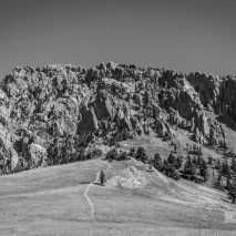
There’s nothing quite as symbolic of Bozeman than the mountains that surround it, notably the Bridger Mountains in the Gallatin Range. Its ridgeline extends NNW from the east side of town. It’s a recreational paradise with a ski resort and countless trails for both the leisurely walk and the adventurous explorer. Of all the trails in the range, none is more exciting or daunting than the Ridge Trail. This is no destination hike. There isn’t some absolute spot where you have arrived, the trail itself is the destination, an accomplishment. Not to say that there aren’t sweeping vistas and beautiful scenery abounding, there most certainly is!
You start this hike early, it is a full day’s hike. There are many variations on the route depending on what you physical level is, or just what time constraints you have, but the full hike consists of a 22 mile hike from Fairy Lake to the College ‘M’ Trailhead (or the reverse). If you look online for most guides, this same route varies in milage depending on the guide and whether or not elevation is included in the calculation of distance (it adds nearly 2 miles in distance!).
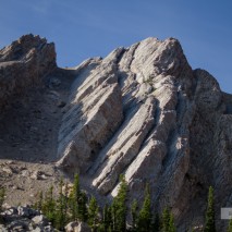
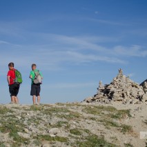
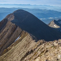
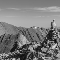
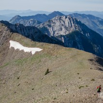
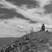
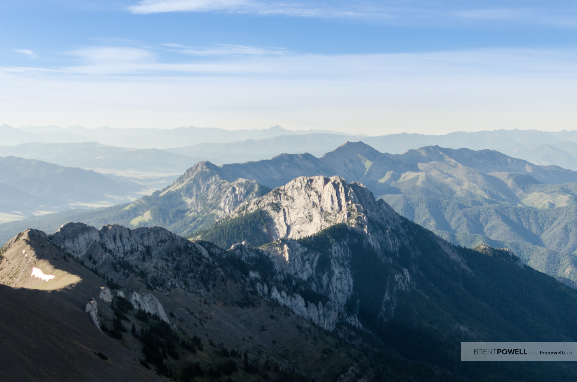
The first part of the hike is a jaunt up to the summit of Sacajawea peak, the tallest peak along the ridge. From the top of the peak, you can see, to the south, the rest of your trail. With a couple exceptions, you basically follow the spine of the mountain range. The most notable exception is Ross peak, a jagged mountain that from some angles seems as sharp as a knife and from others, like a pile of boulders. Most people traverse around this by connecting to the Bridger foothills trail and rejoining the path in the saddle to the south of Ross. This is the route we followed.
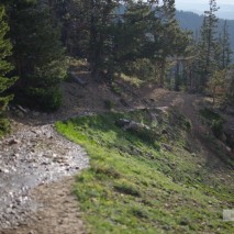
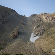
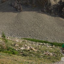
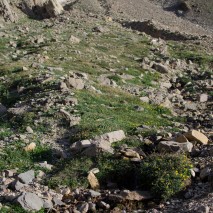
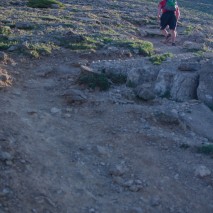
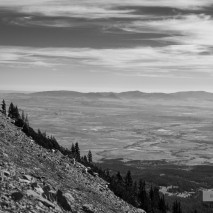
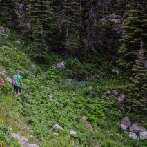
The terrain is mixed, but if you are at an incline, it is usually a steep one. The trail does level out at times, but those level areas are short. Once you pass the Bridger Bowl ski area, there isn’t much shade, which usually coincides with the hottest part of the hike. For several miles you go exposed to the elements. That brings me to another point, bring plenty of water with you if you attempt this hike. There isn’t much in the way of water sources along the trail, or really any at all. I took about 5 liters of water with me and drank every last drop.
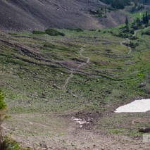
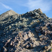
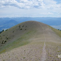
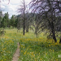
For me, one of the best parts of the hike is to summit Saddle peak, a twin tipped peak with a gentle, downward-bending arc connecting the tips. From a distance the peak looks tame, but has rather steep approaches on either side. After this peak, the last notable knob in the range is Mount Baldy, a nondescript nub that marks the last peak above the timberline. From there down, your quads are assaulted with a unrelenting downgrade for the next 5 miles as you make your way to the ‘M’ trail parking lot.
We had left a car at the trail-head so we could ferry our other driver back to the Fairy Lake trail-head, about a 45-minute drive. If possible, I would recommend that you get someone to shuttle you to Fairy Lake, and leave a car at the ‘M’ parking area, that way you can just go back to town to get that well deserved meal after the feat that you just accomplished. I look forward to doing this trail many more times, and maybe one day even participating in the organized trail race that occurs every August!