
So, as you know, we have had some pretty great adventures over this summer. Whether running, hiking, biking or driving, we’ve been all over the place and covered some very interesting terrain. From the bottom of the various valleys and to the tops of mountains, we have also covered some generous elevations too. I’ll start us off with our latest run. We had a routine scheduled 16 mile run last weekend, a great run in fact. I nearly averaged a 9 minute mile pace! It was great to stretch the legs and run. We had borrowed the in-law’s GPS for our trip up into the Gravelly Mountains the week previous (I’ll get to that later) so I decided to throw it in my pack and see what happened. Below is both the Garmin and Google Earth readout.

 I found that I liked the Garmin app (BaseCamp, free in the Mac App Store) for it’s ability to display the information quickly, although plainly. The plain looks are due to the lack of pre-installed maps on the borrowed GPS. It only has the basic base map and I don’t think it is quite worth it to purchase the $99 upgrade for a borrowed device. On the other hand, Google Earth presented me with a much more intuitive and attractive interface. It even showed my speed stats, and I would imagine whatever data that your particular device gathered (cadence, heart rate, etc). This was fun to look at, but I do have one complaint about how Google Earth (Google Maps to a greater extent) displays altitude. While the GPS collected both barometric altitude and satellite based altitude, Google Earth applies the elevation of it’s base map, which is an averaged topographic map that didn’t equate to accurate readings. I did find out later how to leave the default GPS data intact, but it is not the default behavior.
The big idea behind wanting to take this GPS up to the Gravelly Range was the our MapMyRun elevation was off of what we knew to be established elevations and it lead us to question Google Maps elevation profiles (MapMyRun uses Google Maps). Below are the profiles, Garmin and Google Earth.

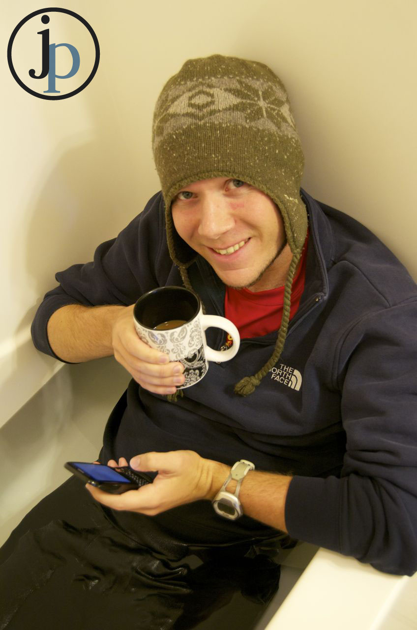
 As you can see, there is a bit of a discrepancy between the Garmin and Google profiles. I made sure to stop at the highest point of the course to record an accurate reading and you can see a difference of over a hundred feet of difference in elevation. I am excited to play more with this and maybe one day, pick up a GPS of my own. With that, I’ll leave you with a couple pictures of me cold water soaking after our 16 mile run. You will notice that I brought myself some company in the form of my phone and some tasty coffee. I also enjoyed getting into my winter gear, bring on the colder weather! (photos courtesy of my beautiful wife! click on them to see the full image)


You must be logged in to post a comment.